Helicopter Spotting in D.C.
The highly unique nature of helicopters operating in the Washington, D.C. area often means that the best method of spotting them requires an integrated approach that can be simplified and made more complex according to one's liking. At its simplest form, watching the sky on any given day and noting the helicopter’s shape and sound is enough for a successful “spot.”
Referencing a chart of D.C.'s helicopter routes raises the odds of success. And at the next level, reliance on tracking apps like Flightradar24, ADSB-Exchange and FlightAware adds to the precision of identifying helicopters. Yet these apps, charts, and use of sight and noise fall short on the effectiveness of radio communication for aircraft identification.
A tune to DCA's helicopter frequency of 134.350 brings a number of advantages. First, it provides a real-time picture of active helicopters within the seven mile radius of DCA tower. Second, it offers a projection of where helicopters will be in the future, as pilots announce their desired routes on the frequency. This helps in prepositioning to await the arrival of certain helicopters to spot as they fly nearby.
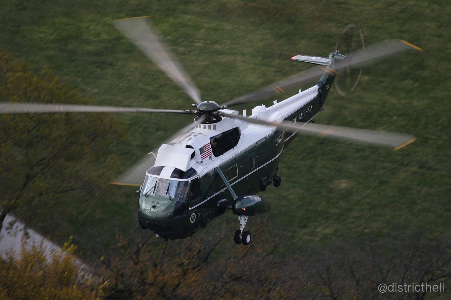
Third, radio chatter enables identification of active helicopters absent on flight-tracking apps mentioned above. For example, FBI helicopters and those flown by the HMX-1 Presidential Squadron almost never appear on these apps. Yet through their unique callsigns, “YETI” for F.B.I., “NIGHTHAWK” and “MARINE-ONE” for HMX-1, these helicopters are identifiable as they talk to the tower.
My most preferred method is a combination of radio comms and flight-tracking apps. Handheld VHF aviation radios such as Sporty's PJ2 are very reliable within 10-15 miles of DCA, and work even better when transmitting aircraft are within line of sight.
A useful feature of apps like FlightAware is the creation of alerts for specific aircraft and the ability to track helicopters anticipated to contact the tower before entering DCA’s airspace.
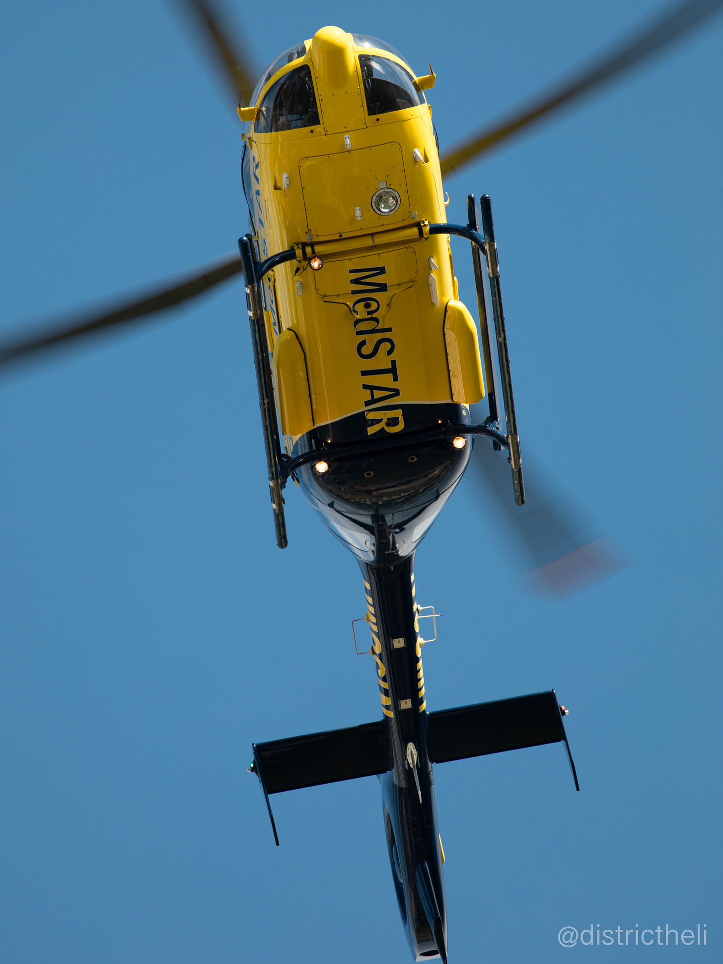
D.C. helicopter routes mostly overfly the Anacostia and Potomac rivers, the Capital Beltway and near major hospitals. A phenomenal place to spot is Route 1 between Hains Point and Key Bridge. It's here where helicopters fly at altitudes below 200 feet. No special equipment is needed for a decent “spot” along this section of Route 1. A smartphone in video mode is fine.
Telephoto lenses ranging from 200-600 mm are often a favourite for spotters preferring to remain in their homes, as they can easily point their cameras at far-flying helos.
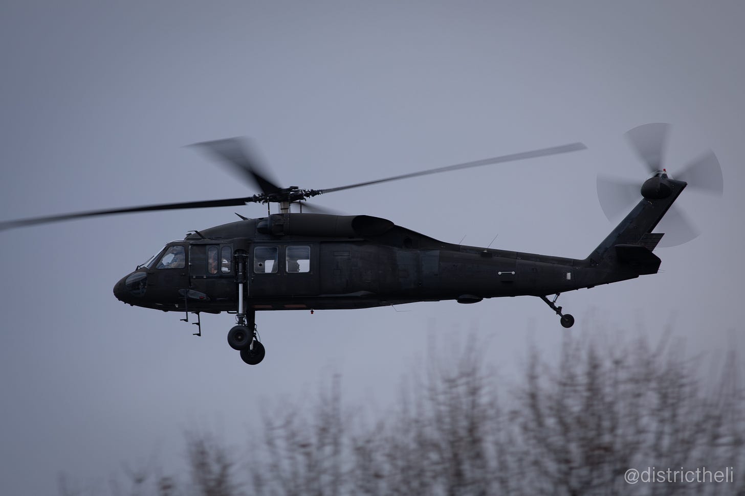
Rarity is a main interest. Most proud “spots” include an extremely rare and odd looking Blackhawk used to test sensory equipment that flew over the Tidal Basin just last month.
Big changes are also anticipated in the government V.I.P. helicopter scene that will boost the rarity value of two D.C. area helicopters soon to be retired. The majestic VH-3D, most associated with "MARINE-ONE," will be replaced by the newer and more powerful VH-92, after 60 years of incident-free presidential airlift.
The obnoxiously loud (even by helicopter standards) blue-and-white-top Air Force Hueys are to be replaced by a militarized version of the AW-139 flown by the Maryland State Police.
These two helicopters will receive increased attention over the next year or two.
Final tip, keep an eye out for public announcements on government exercises involving unusual helicopter activity. They are often great opportunities to observe helicopters outside their usual routes and can be quite the show to watch.


